
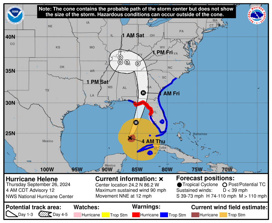

The National Weather Service in Morristown reported remnants of what is now Hurricane Helene will quickly move north from the Florida coast midday today, into northern Georgia by early Friday morning.
Rain intensity may waver at times today and additional heavy rain continues tonight into Friday morning as the remnants of Helene move through the region.
In addition to the rain, strong winds are in the forecast. The highest winds are expected across the higher elevations of the east TN, southwest VA, southwest NC mountains, and Cumberland Plateau. The Tennessee valley will likely experience some high winds Friday morning.
With soils incredibly saturated, trees are likely to fall during this period of high winds. Periods of torrential rainfall are expected during this time which may lead to flash flooding.
Stay tuned to Radio Greeneville Stations and monitor the forecast. Those living in areas prone to flooding should be prepared to take action should flooding develop.